 vesseltracker.com
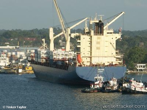
Vessel MSC NAISHA III IMO: 9307839, MMSI: 636021061 Container Ship
UTC, 51.25235, 4.35732, course: 236, speed: 0
UTC, 51.25234, 4.35732, course: 236, speed: 0
2026-02-27 07:31:50 UTC, 51.25233, 4.35728, course: 236, speed: 0
Live AIS position:
UTC. Near Pijp Tabak),
updated 2026-02-27 07:31:50 UTC.
Find the position of the vessel MSC NAISHA III on the map. The latter are known coordinates and path.
marine traffic ship tracker show on live map
The current position of vessel MSC NAISHA III is 51.25233 lat / 4.35728 lng. Updated: 2026-02-27 07:31:50 UTCCurrently sailing under the flag of Liberia
MSC NAISHA III built in 2005 year
Deadweight:
33074 tDetails:
Last coordinates of the vessel:
UTC, 51.25167, 4.35667, course: -1, speed: 0UTC, 51.25235, 4.35732, course: 236, speed: 0
UTC, 51.25234, 4.35732, course: 236, speed: 0
2026-02-27 07:31:50 UTC, 51.25233, 4.35728, course: 236, speed: 0